2024
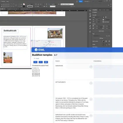
Online software to extract and translate text frames in Adobe Indesign files..
2023-2026
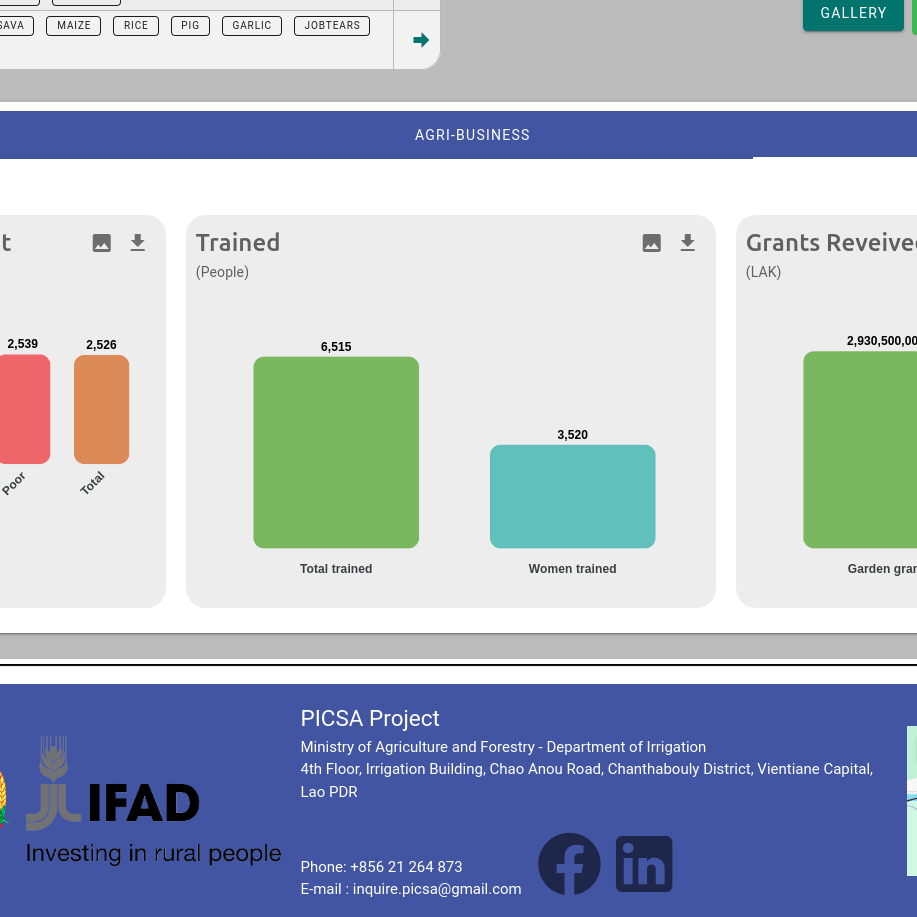
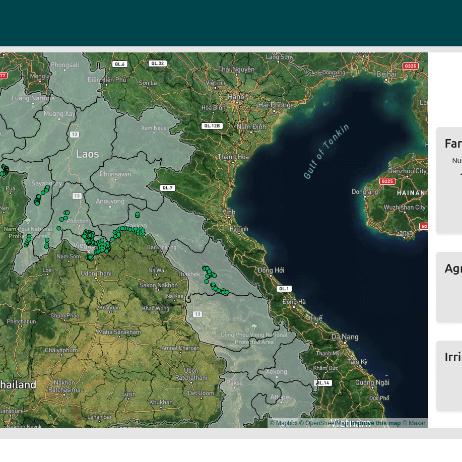
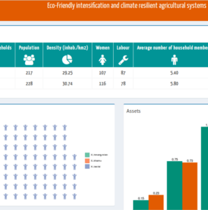
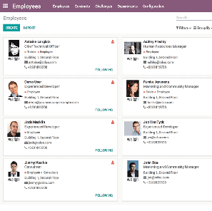
Dashboard and online map of farmer group projects, irrigation, agricultural grants, etc...
2022-2024
Dashboard and online map of farmer group projects, irrigation, agricultural grants, etc...

2021-2022
Online data sharing platform for climate and crop yields prediction
2021 - 2024
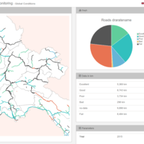
Bridge management system, inspection, inventory, maintenance planning.
Jaunary 2020 - Current
Finding bottlenecks and optimizing a data-intensive application.


November 2018
Data extraction and visualization for paper on medicine quality

January - Current
Automation for the processes of auditing L'Oréal entities for group norm compliance.

January 2020 - May 2020
Frontend development for a web platform monitoring international maritime shipping.

July 2021 - February 2022
Frontend development for a web platform monitoring refineries maintenance events.
2018 - Current
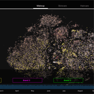
Web application to visualise 1000s of Instagram pictures on an interactive map.

* IRD: Institut de Recherche pour le développement: 5-day training * LOMWRU: : Mahidol Oxford Tropical Medicine Research Unit: 1-day R training
Training on data analysis for researchers: good practices with data, map creation, charts


May 2020 - October 2020
Frontend development for a web platform monitoring international oil storage.
Project started in February 2018.
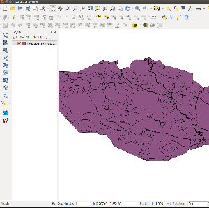
Advising and coding on a land use planing registrering application.
March 2017
Using Python and geoscience to interpolate and automate daily tanker’s position monitoring.
January - March 2018
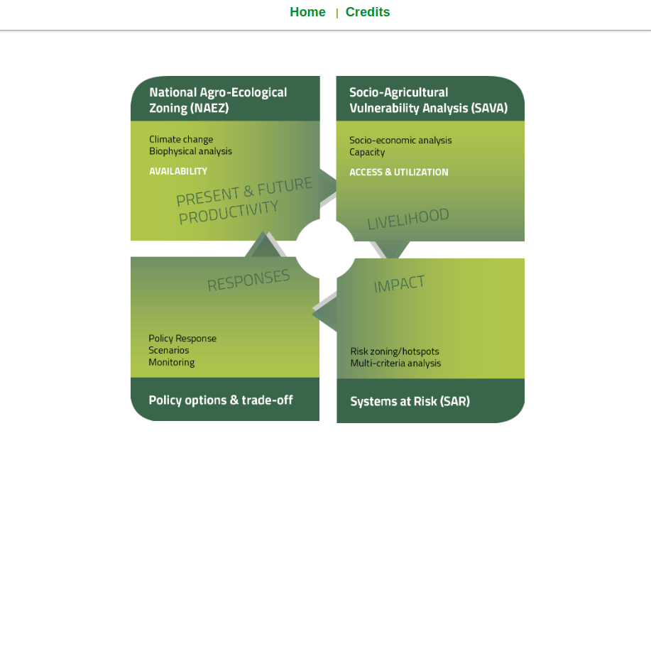
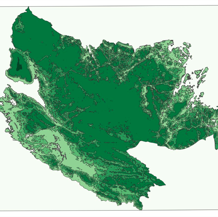
Dashboard demonstrating research data on climate change resilience for 24 villages.
November 2018 - Current
Web application to monitor cases and progress.
February 2017
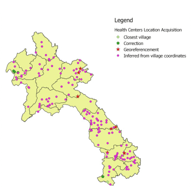
Geographic coordinates estimation for 152 Health Facilities in Laos for the Research Center against Malaria.
June 2017
Setup of Data Collection System before field collection for Theun-Hinboun power company.
January-February 2017.
Development of features for the weather data analysis marketing app Metigate.
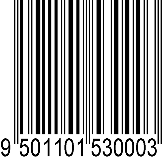
First period, September - December 2016: work on barcode functionalities to track land titles. Second period, starting February 2018: work on QGIs plugin, fee calculations, etc ... Third period: June 2020 - October 2020
Development of features for the Lao Land Registration system of the Ministry of Natural Resources.
The project was a more than two-year-long projects, from user interviews, specifications, implementation, testing and training.
Full implementation of a web based road maintenance work monitoring system.